
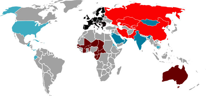
To be able to visualize some quantities attached to countries all over the world, I needed a image with various countries color-coded. The fantastic matplotlib basemap package was not an option as I really needed a static image.
So I generated an SVG image with all the countries. It was generating by tracing a bitmap, so it has a lot of imperfections, but being an SVG with each (major) country as a different object, it can be used to create a colored-code world map. I am uploading it here under a public-domain license. Enjoy!
PNG
SVG: countries.svg
Go Top